Vision & Goals
Click here to see what we learned from the community during Phase I of the planning process and read about the plan's vision and goals.
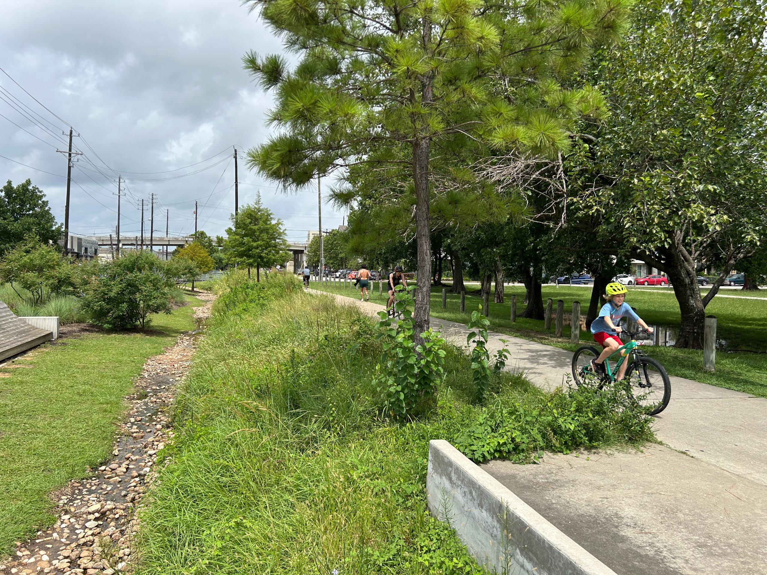
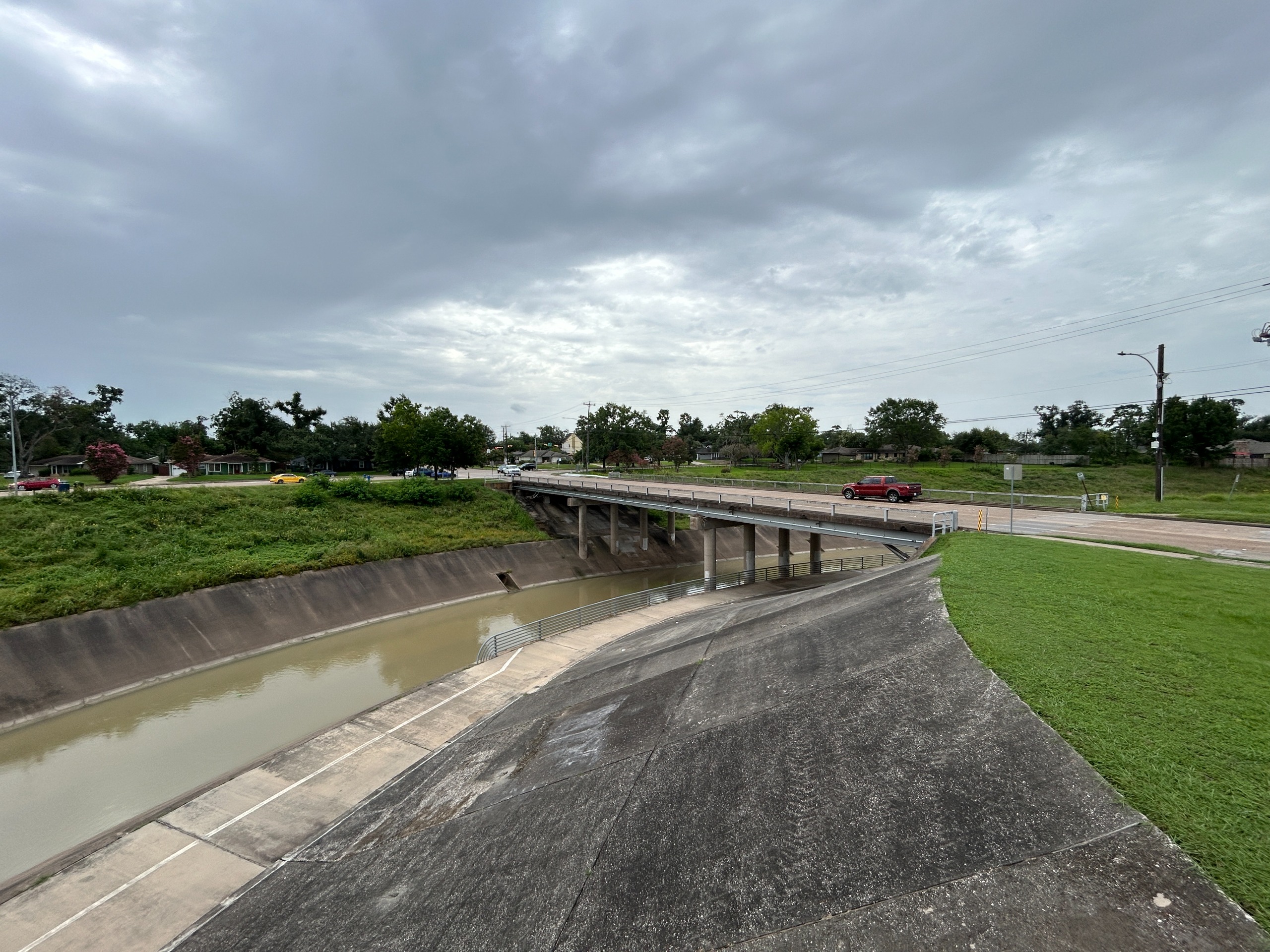
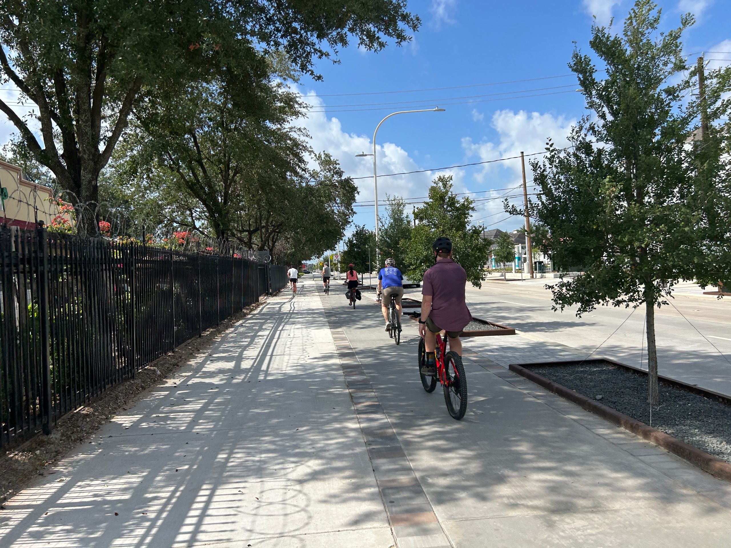
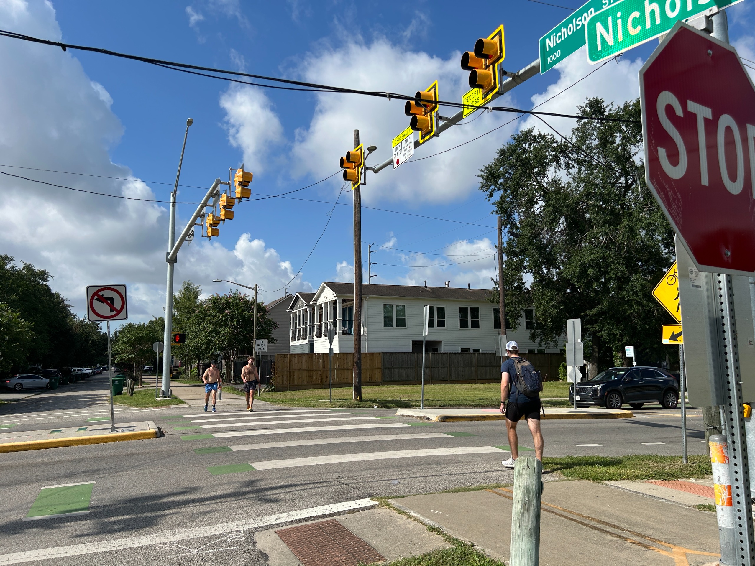
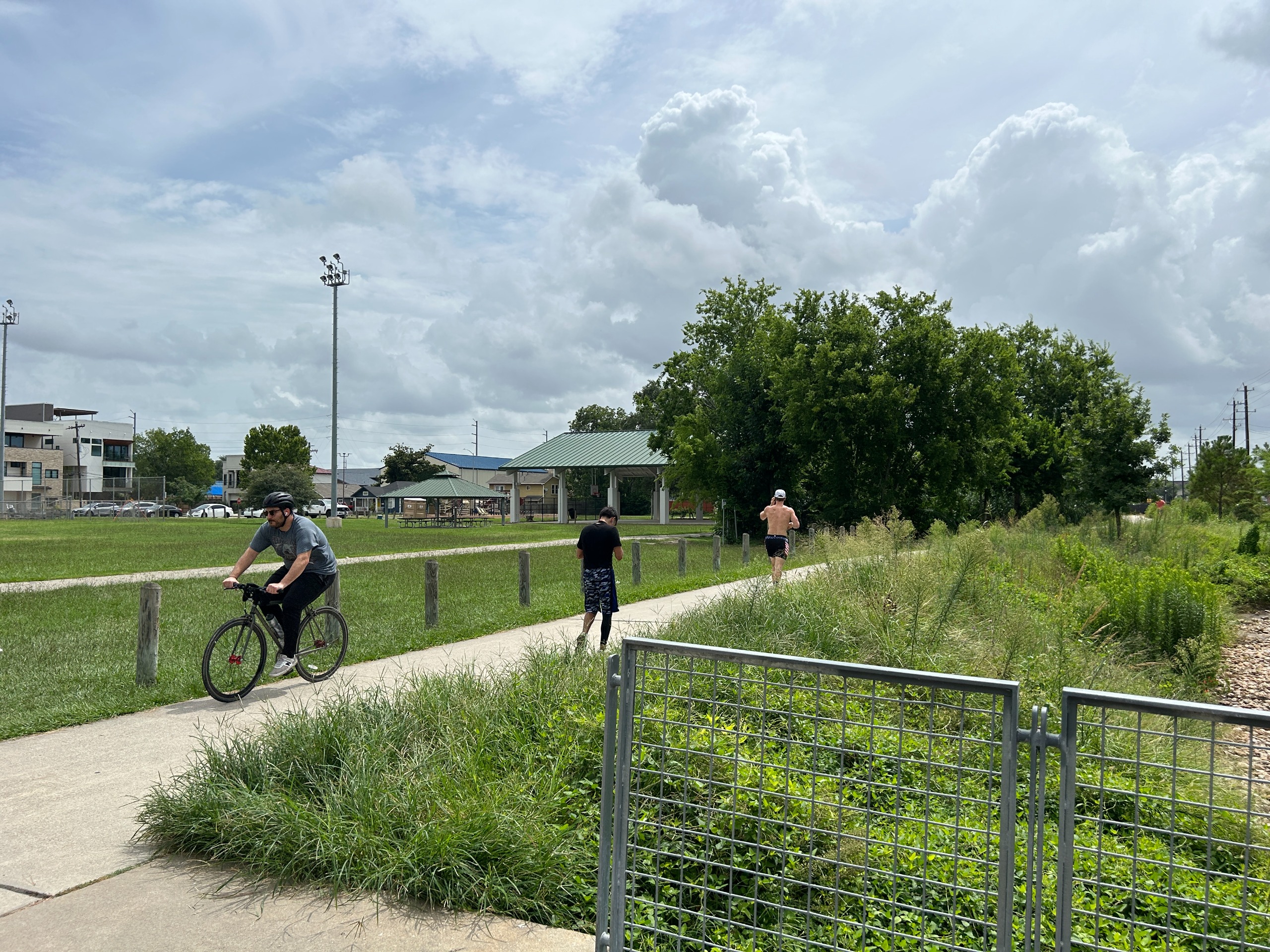
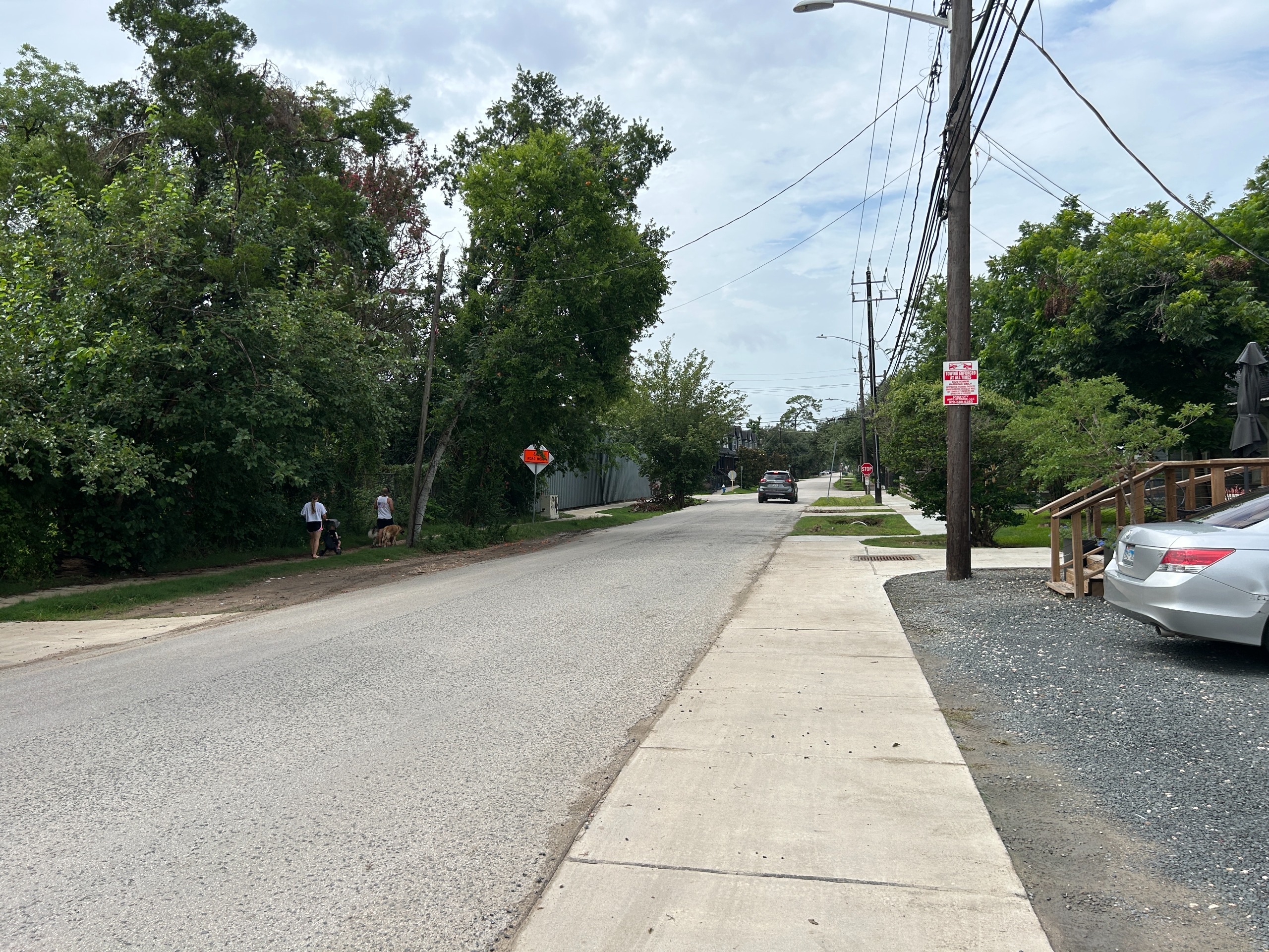
The Memorial Heights Redevelopment Authority (MHRA) envisions safe and connected neighborhoods through the development of a Greater Heights Strategic Connections Plan. This plan will identify key infrastructure improvements that will expand access for individuals and families moving about the neighborhood, including people walking, biking, taking transit, driving, and rolling to key transportation corridors in the Memorial Heights and Greater Heights neighborhoods. These destination corridors include community mobility hubs for active movement such as the White Oak Bayou Trail, MKT Trail, Nicholson Street Trail, and Shepherd-Durham Trail. With your input, MHRA will develop a set of feasible and impactful project recommendations that are ready for design and construction, working towards a safer, more connected, and active neighborhood for all.
Click here to see what we learned from the community during Phase I of the planning process and read about the plan's vision and goals.
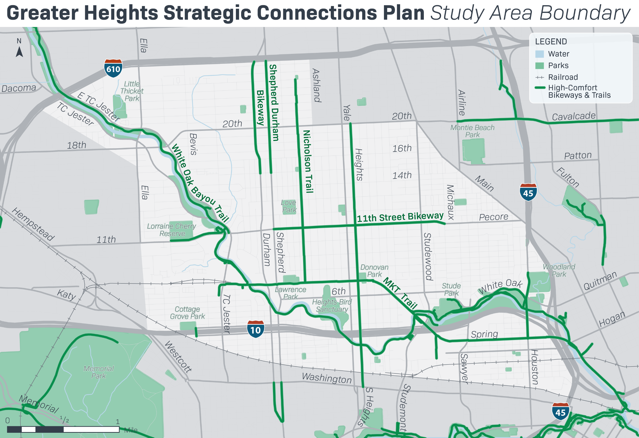
Image 1 of 6
![]()
Have questions or want to learn more about a project, contact us below:
| info@memorialheightstirz5.com |